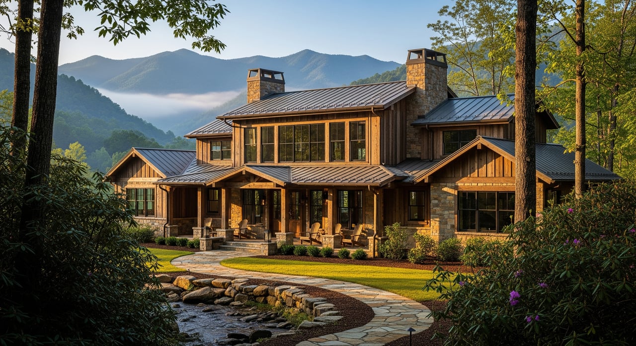
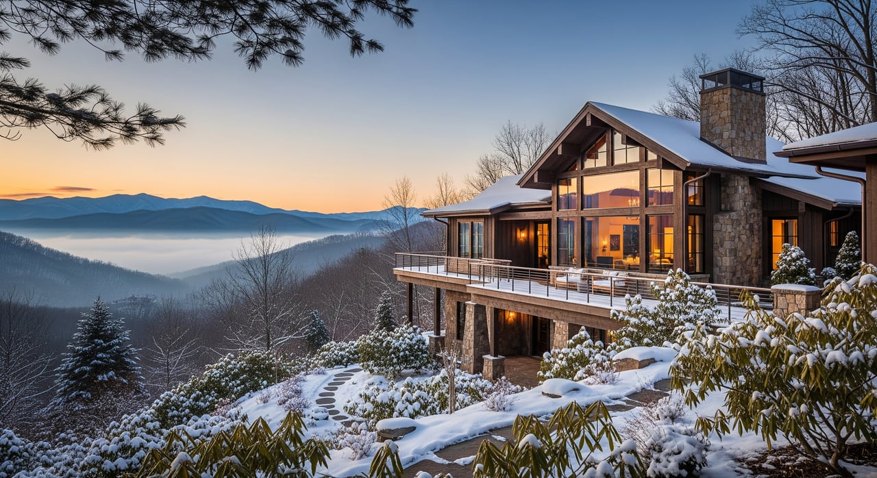
Wondering what an acre of land really costs in Jefferson County right now? You are not alone. Prices vary a lot from road frontage and utilities to slope and lake access, which makes quick comparisons tricky. In this guide, you will learn how to size up any parcel, what factors move the price per acre most, and a simple way to estimate value with confidence. Let’s dive in.
What drives per-acre value
Pricing in Jefferson County is highly local. A few features consistently move the needle for buyers and small investors.
Location and market access
- Proximity to Knoxville and major corridors tends to increase demand and price per acre.
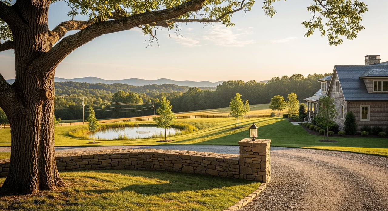
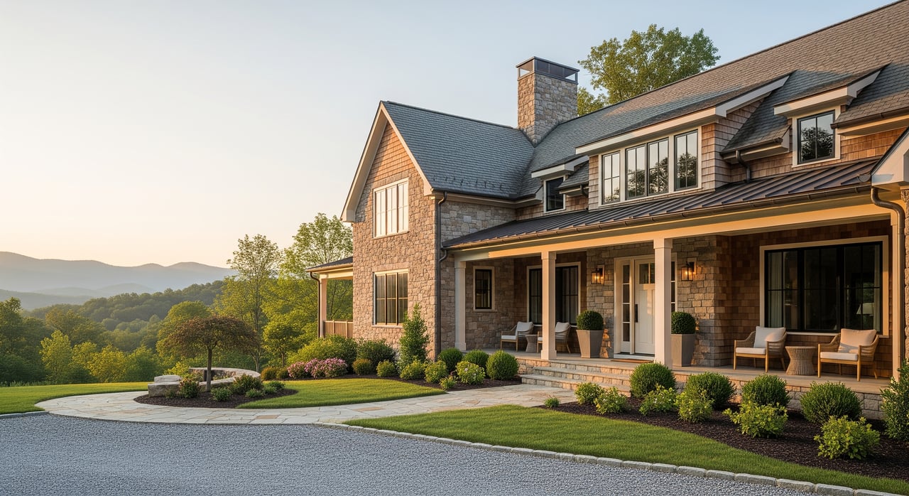
- Recreation access around Douglas Lake and other TVA reservoirs often creates a premium for water views or access.
- Distance to daily services matters for owner-occupant buyers; investors may focus more on development potential.
Legal and regulatory constraints
- Zoning, minimum lot size, subdivision rules, and septic permitting define how you can use the land.
- Floodplain or wetlands can reduce usable acreage and add restrictions.
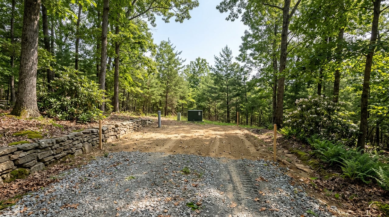
Access and frontage
- Paved public road frontage usually sells at a higher price than private drives or shared easements.
- Landlocked parcels carry a steep discount or the added cost to secure legal access.
Utilities and site infrastructure
- Public water or sewer at the road can raise value by reducing development risk and cost.
- Septic suitability and well potential are critical for rural parcels.
Topography and buildability
- Gentle or rolling terrain offers more buildable acres and lower site costs.
- Steep slopes increase driveway, foundation, and erosion-control costs.
Parcel size, shape, and production value
- Small home sites often sell at a higher price per acre than large recreational or agricultural tracts.
- Merchantable timber can add value but depends on species and harvest market conditions.
Market liquidity and buyer types
- Owner-occupants, hobby farmers, and recreational buyers value different attributes. A tract that excels for one use may underperform for another.
A quick checklist for any parcel
Use this short list every time you evaluate a property:
- Commute and access: distance to Knoxville corridors and time to key services.
- Road type and legal access: public paved, public gravel, private, or easement.
- Utilities: public water or sewer at the road; well and septic history if known.
- Slope and buildable area: mostly flat, rolling, mixed, or steep.
- Soils and septic: septic suitability per health department requirements.
- Floodplain and wetlands: any mapped flood zones that affect buildability.
- Size, shape, and frontage: total acres, usable acres, and linear feet of frontage.
- Zoning and lot rules: minimum lot size and permitted uses.
- Water features: lakefront, lake access, or distance to marinas and ramps.
- Land cover: timber, pasture, or cleared fields.
- Market history: recent sale date and days on market for similar parcels nearby.
How to estimate your per-acre price
You can build a practical estimate by combining local comparables with a few thoughtful adjustments.
Step A: Define the likely use
Decide the primary use that most buyers would pursue:
- Rural homesite close to services
- Hobby farm or pasture
- Recreational land for hunting or timber
Different uses attract different buyer pools and price metrics, such as price per buildable acre vs price per total acre.
Step B: Select strong comparables
Look for sold and active comps in Jefferson County or nearby zip codes. Aim for properties sold within the past 12 to 24 months and within 3 to 6 miles. Try to match on:
- Parcel size within about plus or minus 50 percent
- Road access type and frontage
- Utility availability
- Slope and buildability
- Lakefront or inland
- Timber vs cleared condition
If you cannot find good matches, widen the radius or time window and be more careful with adjustments.
Step C: Adjust for key factors
Use these common adjustment ranges as starting points. Local evidence should guide your final call.
- Road access: paved public frontage vs private drive can be +10% to +35%; landlocked or easement-only access can be -20% to -50% or more.
- Utilities: public water at the road can be +10% to +40%; a known septic approval or favorable soils can be +10% to +30%; no feasible well or septic can be -15% to -40%.
- Slope and buildability: mixed slopes can be -10% to -30%; predominantly steep can be -30% to -65%.
- Proximity to market: within 15 to 30 minutes of Knoxville or major interchanges can be +15% to +60%; more remote locations can be -10% to -40%.
- Water access or lakefront: private waterfront or boat access often commands a premium in the +25% to 200% range depending on frontage and usability.
- Parcel size: small lots of 1 to 5 acres often sell at a +10% to +50% per-acre premium over large recreational or agricultural tracts.
Step D: See the process with illustrative numbers
Here is a simplified example to show the math. These numbers illustrate the method only.
- Comparable sale: 20-acre tract with paved frontage, private well, septic permitted, rolling topography, about 30 minutes to Knoxville. Sold for 200,000, or 10,000 per acre.
- Subject parcel differences: 15 acres with steeper slope (reduce 20%), closer to the lake (add 25%), and on a gravel road (reduce 10%).
- Net adjustment: -20% + 25% - 10% = -5% net. Adjusted estimate: 10,000 per acre x 0.95 = 9,500 per acre. Total value estimate around 142,500.
Your actual adjustments should reflect real local sold data and current development costs.
Where to find data that matters
Pull facts from official records and reliable tools, then confirm in the field.
- Jefferson County Property Assessor and GIS parcel viewer: parcel boundaries, acreage, recent sale history, and tax appraisal.
- Jefferson County Planning and Codes and the Health Department: zoning, subdivision rules, and septic permitting steps and requirements.
- USDA NRCS Web Soil Survey: soils, hydric areas, and limitations that affect septic and foundations.
- FEMA Flood Map Service: flood zones and base flood elevations that affect insurability and buildability.
- Tennessee Valley Authority resources for Douglas Lake: shoreline maps, recreation access, and rules that influence lakefront use.
- Local MLS via a licensed agent: verified sold data and faster updates than national portals.
- Local utility providers: availability and cost to extend service to a site.
- Professional field checks: percolation testing contractors, land surveyors, and local civil engineers for cost and feasibility.
Typical bands you will see
Instead of chasing a single county-wide number, think in bands that reflect the land’s likely use and features:
- Raw wooded, steep recreational tracts with limited access: lowest price-per-acre band.
- Unimproved farmland or pasture that is relatively flat but remote: low to moderate band.
- Improved rural home sites with road frontage and feasible well and septic: moderate band.
- Commute-friendly, lake-access, or lakefront parcels: moderate to high band.
- Small building lots of 1 to 5 acres with utilities in place: often the highest per-acre band among rural parcels.
To assign a property to a band, pin it against recent local sold comps with similar access, utilities, slope, and proximity to Knoxville or Douglas Lake.
How to screen active listings fast
Use a simple 3-step filter when you browse listings so you do not waste time on poor fits.
- Access and frontage
- Confirm legal access and the road type. Paved public frontage is a plus. Private or easement-only access may require legal and cost reviews.
- Utilities and approvals
- Look for public water at the road or a clear path for a well and septic. If a septic permit or soil work is already done, that reduces risk.
- Topography and soils
- Scan photos, aerials, and topographic maps. Favor tracts with mostly gentle or rolling terrain. Check soils and avoid large hydric or floodplain areas if your goal is a homesite.
Next steps and local help
If a property passes your first screen, verify the details:
- Order or review a survey to confirm boundaries and legal access.
- Speak with the county health department about septic testing and approvals.
- Call local utility providers for cost and timing to extend service.
- Check zoning, minimum lot sizes, and any deed restrictions.
When you want a clear read on price per acre, pair that due diligence with MLS sold comps and a practical adjustment model. With 38-plus years helping buyers and small investors across East Tennessee, we know how to spot buildable acres, real access, and the factors that move your price most. If you are weighing parcels near Knoxville corridors, around Douglas Lake, or in rural corners of Jefferson County, we are here to help you compare options with confidence.
Have questions or a property in mind? Schedule a free consultation with Wanda Hendryx for local sold comps, a custom per-acre analysis, and a step-by-step plan to make your purchase smooth.
FAQs
How does Knoxville proximity affect land prices in Jefferson County?
- Being within about 15 to 30 minutes of major Knoxville employment nodes or corridor interchanges often adds a premium in the +15% to +60% range compared to more remote areas, based on typical adjustment practices.
How does Douglas Lake access influence per-acre value?
- Lakefront or private boat access commonly carries a strong premium that can range from about +25% up to 200% depending on the quality and usability of the frontage and nearby amenities.
What role do septic tests and soils play in value?
- Favorable soils and a septic approval can add roughly +10% to +30% by reducing risk and development cost, while no feasible well or septic path can reduce value by about -15% to -40%.
What does “buildable acreage” mean for buyers and investors?
- Buildable acreage is the portion of the parcel that can practically support a home or primary use after accounting for slope, soils, floodplain, setbacks, and access. Gentle or rolling ground typically yields more buildable acres.
How do I confirm utilities for a rural lot in Jefferson County?
- Contact local utility providers to verify service areas and extension costs, and speak with the county health department about septic testing and approvals. Public water or a prior septic permit can reduce risk and cost.
What documents should I review before making an offer on land?
- Review the deed and any easements, zoning and subdivision rules, assessor and GIS parcel data, FEMA flood maps, soil information, and, for lake properties, shoreline rules. A survey and title review help confirm access and boundaries.
Are small lots always worth more per acre than large tracts?
- Not always, but small 1 to 5 acre homesites often carry a +10% to +50% per-acre premium versus large agricultural or recreational tracts, due to buyer demand and economies of scale.
Can I subdivide land I buy in Jefferson County?
- It depends on zoning, minimum lot size, subdivision rules, road frontage, and septic feasibility. Confirm requirements with Jefferson County Planning and Codes before you make plans or assumptions.